Skip to content

Androken Aerial

Mostly Maine

  • Mainly Maine
  • Katahdin
    • Ancient, Ancient History Katahdin
  • Aerial Maine
    • Coastal Maine
      • Maine Lighthouses
        • Southern Maine Lighthouses
        • Casco Bay Lighthouses
        • Kennebec River Lighthouses and Range
        • Boothbay to Pen Bay Lighthouses
        • Eastern Muscongus to Western Penobscot Bay Lighthouses (Franklin – Two Bush Lights)
        • Penobscot Bay (Western Coast) Rockland to Fort Point Light
        • Eastern Penobscot Bay
        • Lighthouses Around Mt Desert Island
        • Downeast Lighthouses
    • Maine Mountains
    • Maine Rivers and Lakes
  • Videos
    • Summer Flying (2022)
    • Older Videos
  • Maine from the Ground
  • Travel
  • Blog
  • About
  • Big History

2023 Plans

Aviation, Katahdin, Photography
Katahdin

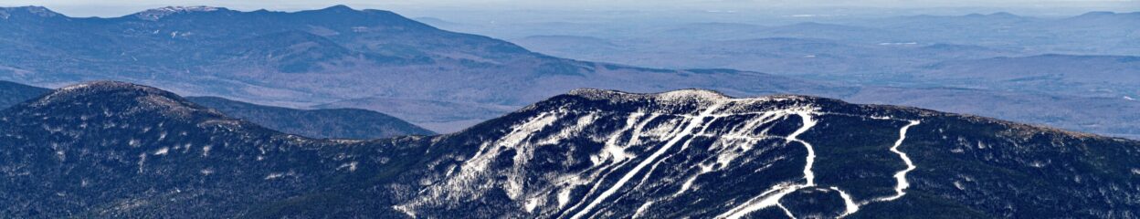
I hope to explore the mountain by airplane, drone and on foot. Well, I had hoped to use a drone, turns out Baxter State Park does not allow drones to operate from park property. Not a big deal.

Related

December 28, 2022January 6, 2023 Put

Post navigation

Previous Previous post: Animated Logo
Next Next post: Tetonic Plates and Katahdin

Androken Aerial Information

Put Armstrong pilot @ androkenaerial.com All text and images are copyrighted © 2024 Androken Aerial LLC or © 2024 Put Armstrong      

Search

Log in
Proudly powered by WordPress Theme: Orvis by Automattic.