Skip to content

Androken Aerial

Mostly Maine

  • Mainly Maine
  • Katahdin
    • Ancient, Ancient History Katahdin
  • Aerial Maine
    • Coastal Maine
      • Maine Lighthouses
        • Southern Maine Lighthouses
        • Casco Bay Lighthouses
        • Kennebec River Lighthouses and Range
        • Boothbay to Pen Bay Lighthouses
        • Eastern Muscongus to Western Penobscot Bay Lighthouses (Franklin – Two Bush Lights)
        • Penobscot Bay (Western Coast) Rockland to Fort Point Light
        • Eastern Penobscot Bay
        • Lighthouses Around Mt Desert Island
        • Downeast Lighthouses
    • Maine Mountains
    • Maine Rivers and Lakes
  • Videos
    • Summer Flying (2022)
    • Older Videos
  • Maine from the Ground
  • Travel
  • Blog
  • About
  • Big History

Origins

Science

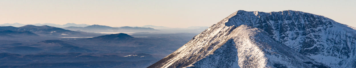
Everyday, NASA publishes an image of its various activities. I found this one to be particularly interesting – where everything came from.

https://apod.nasa.gov/apod/astropix.html

Related

January 8, 2023January 8, 2023 Put

Post navigation

Previous Previous post: Tetonic Plates and Katahdin
Next Next post: Baxter State Park

Androken Aerial Information

Put Armstrong pilot @ androkenaerial.com All text and images are copyrighted © 2024 Androken Aerial LLC or © 2024 Put Armstrong      

Search

Log in
Proudly powered by WordPress Theme: Orvis by Automattic.